isla amazonica
CONTENT:
- Position
- Average temperature
- How to get here?
- Base map
- Master plan
- Permaculture
- Geology
- Water
- Energy
- Access
- Fruits&Plants
- Structures
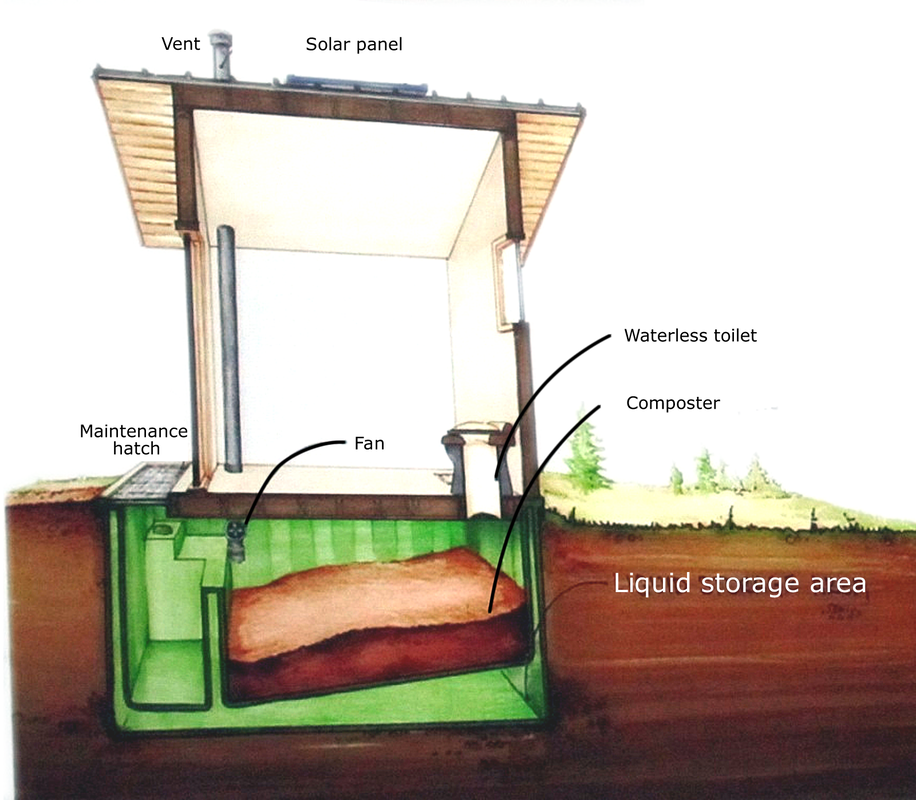
- Humanure and septic system
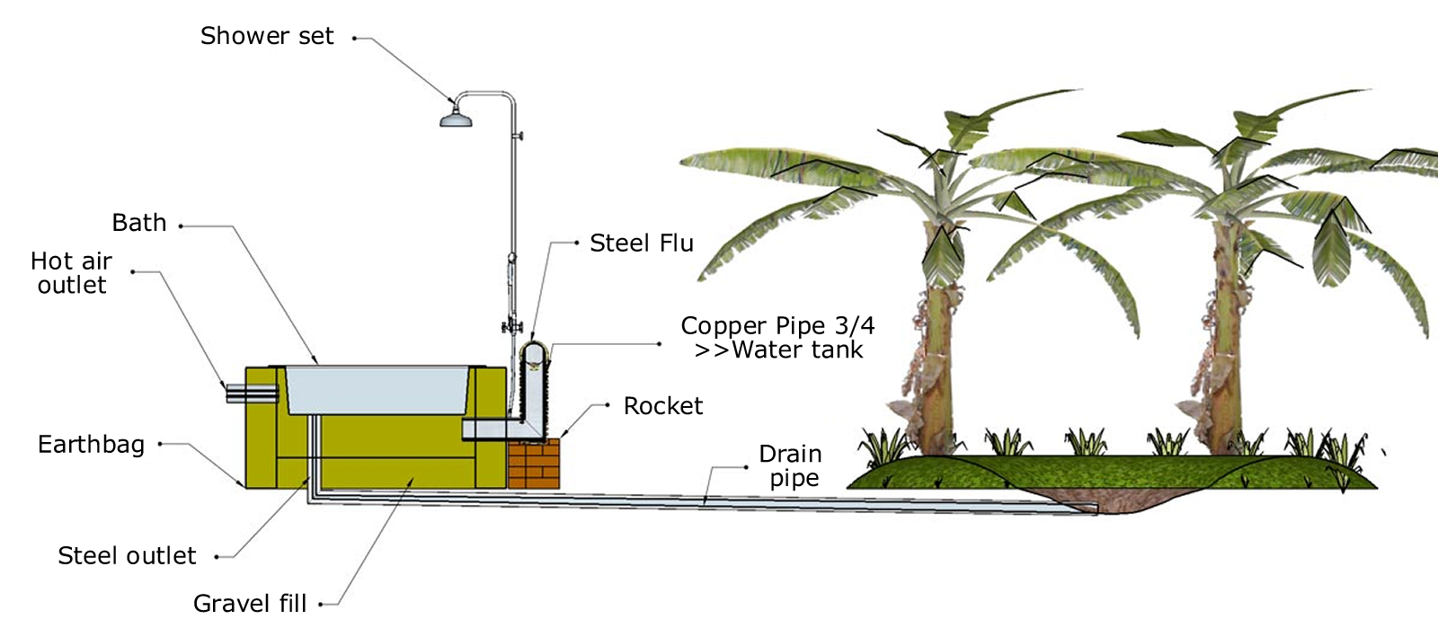
- Greyater
- Waste management
- Building resiliensy
- Animals (domestic)
- Aquaculture
- Trophic level
- Biomass transfer efficiency
- Maintenance areas
- Fertility
- Tropical nursery
- Comunication
- Emergency protocol
- Safeness
- Shops
- Restaurants
- Bars
1. Position
Latitude : 3°59'46.28"S
Longitude : 73° 8'43.11"W
Elevation : ~110m / ~360ft
Longitude : 73° 8'43.11"W
Elevation : ~110m / ~360ft
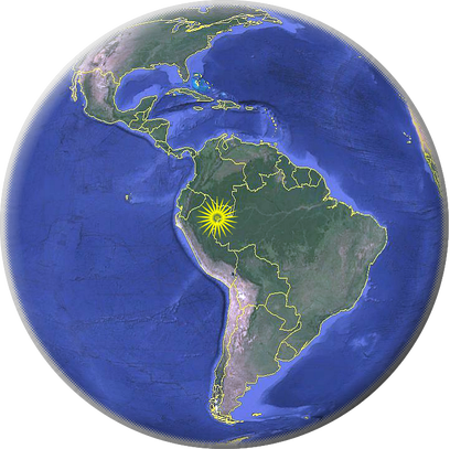
south america
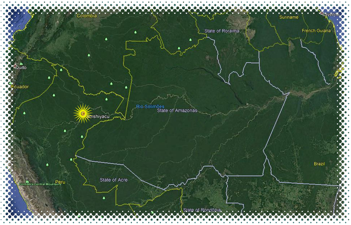
Region: Loreto, Peru
Conditions : Hot & Humid
Min. Temp: 18° C / 64° F
Wet Season: October – May
Max. Temp: 36° C / 97° F
Dry Season: June – September
Average Rainfall: 2.87 m / 113 in
Analogue Climates: Southeast Asia & Central Africa
Conditions : Hot & Humid
Min. Temp: 18° C / 64° F
Wet Season: October – May
Max. Temp: 36° C / 97° F
Dry Season: June – September
Average Rainfall: 2.87 m / 113 in
Analogue Climates: Southeast Asia & Central Africa
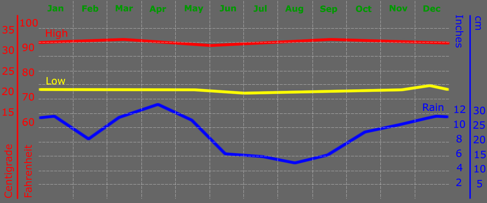
2. AVERAGE TEMPERATURE AND PRECIPITATION IN IQUITOS, PERU
In Tamshiyacu the temperature varies between 20-22C early in the morning to 29-33C in the afternoon and it is thereabout during whole year.
3. How to get here?
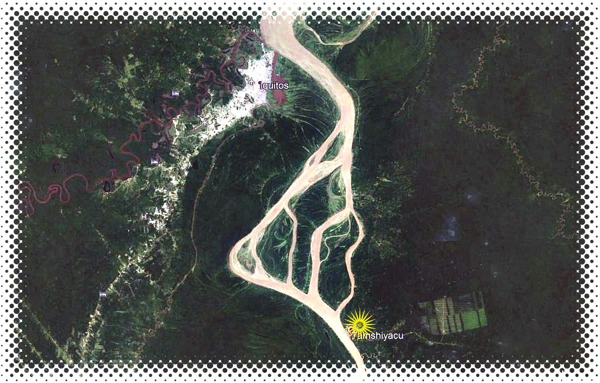
boat ride from iquitos
ISLA AMAZONICA
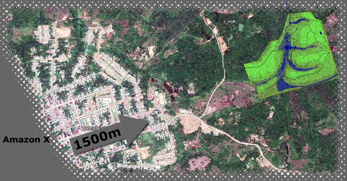
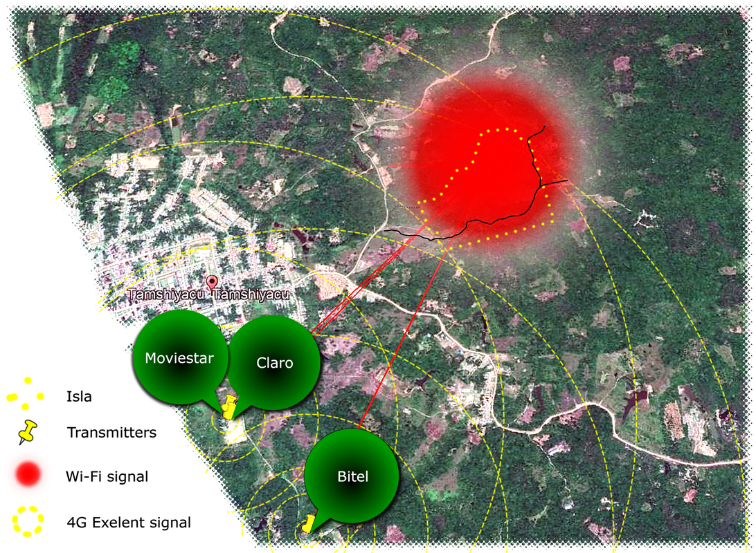
The Isla Amazonica Institute lies adjacent to little town of Tamshiyacu in the heart of the Peruvian Amazon. About 30 km south of Iquitos it lies just above the flood- plain of the Amazon river. Getting there from Iquitos involves a motorboat ride and 10 minutes motocaro drive.
There is several boat operators who can take you to Tamshiyacu ;
SPEED BOAT
Fastest way is to take speed boat (Rapido) from Puerto Wuiquito wich is right next to the enterence of Al frio y al fuego restorante or a few 100m from mercado de productores. Duration of navigation is around 1h. Negative aspect is time you will spend on the boat waiting for the people to fill the boat up. (20 soles/person)
PONGERO
Easy and nice way to get across. 22m Aluminuim boats powerd by 2x45HP outboard engine will drive you slowly in approximately 2 and half hours. Very silently and with toillet on board. Timetable 5am, 7am, 9am, 11am, 1:30pm. (10 soles/person)
Cargo boats
From Puerto Belen under the Belen market you can find two biger boats for transport all kind of equipment and goods as well as the passengers. Tabletime is 12:30pm from Puerto Belen (3 soles/person)
PERSONAL SPEED BOAT
Renting a speed boat is possible at anytime at Puerto Wuiquito or Tamshiyacu during the day time. (Price for smaller boat 150-200 soles, bigger boats from 250 to 350 soles)
drive or walk
PUERTO TAMSHIYACU
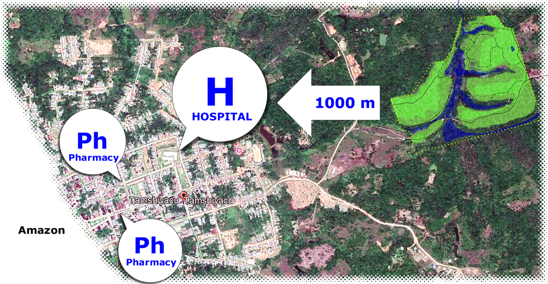
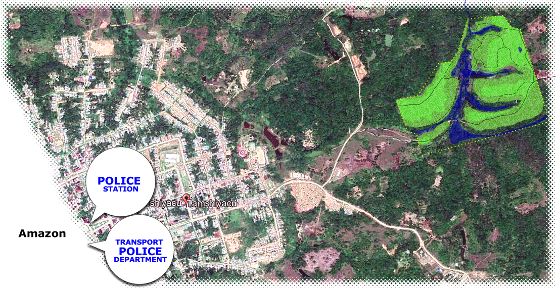
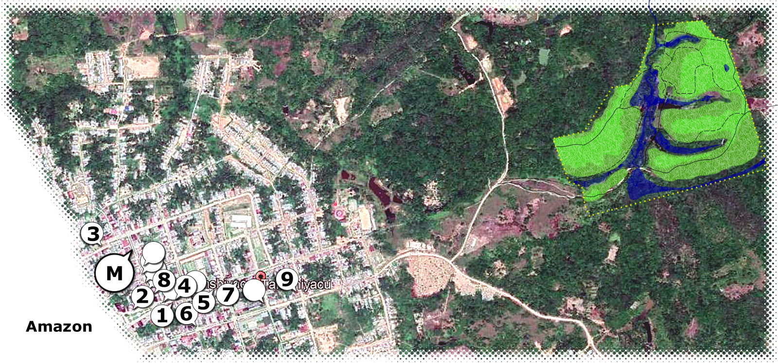
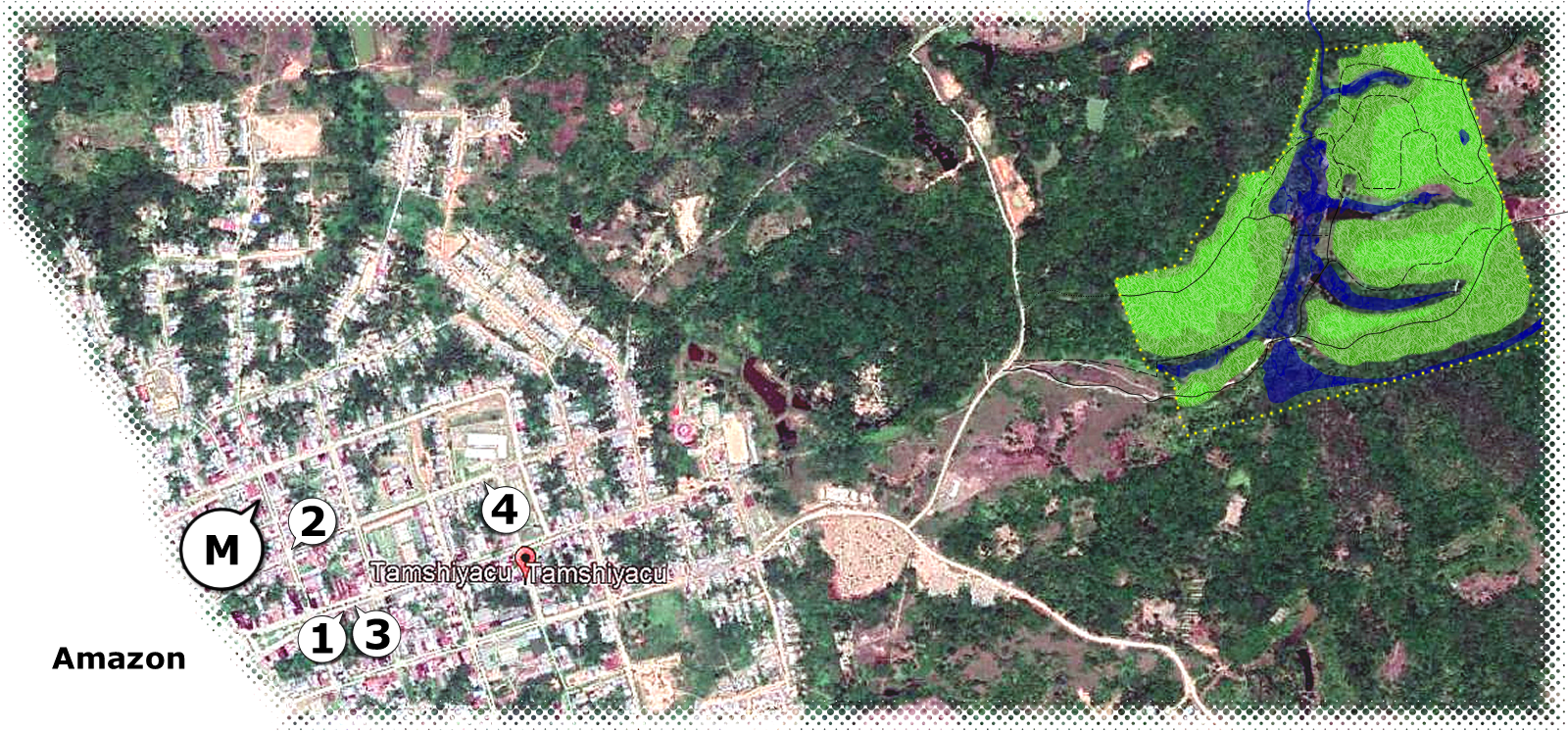
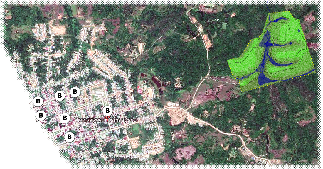
Directly from main port, where most of speed boats stops in Tamshiyacu, get up to the Bulevard and main Placa de Armas and you just walk (20min) straight forward, with this map in your hands or ask some motocarista to take you. (10min drive).
3. BASE MAP
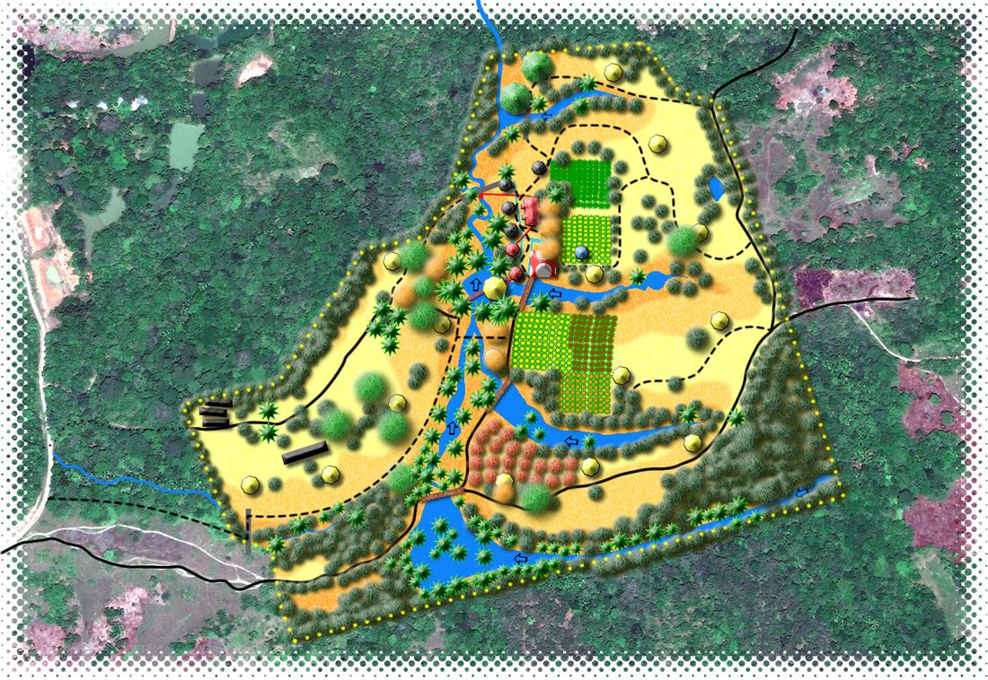
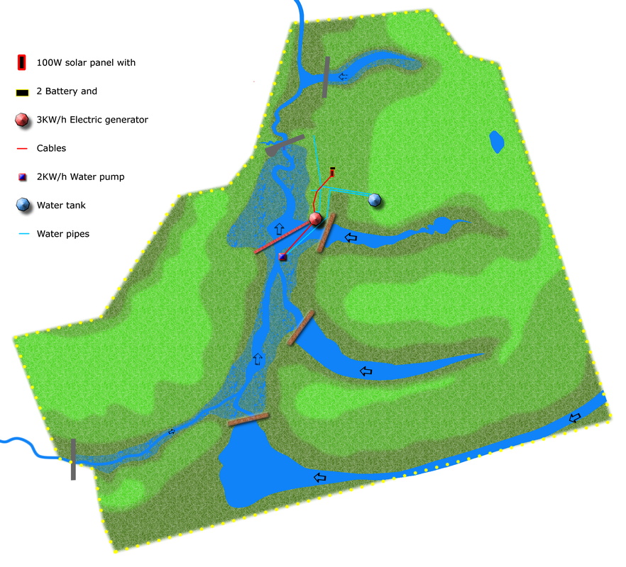
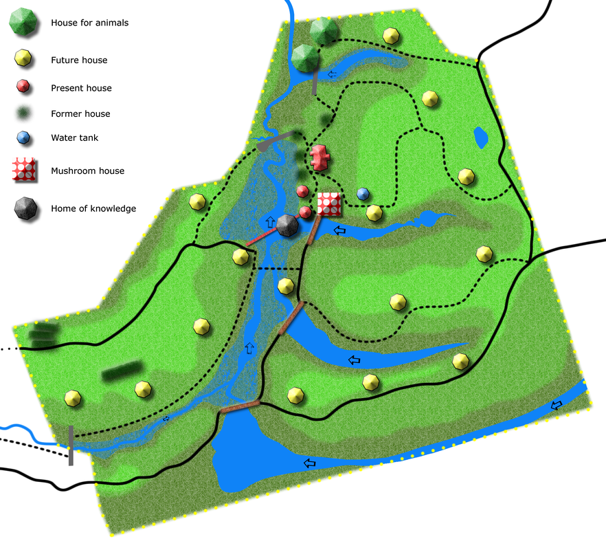
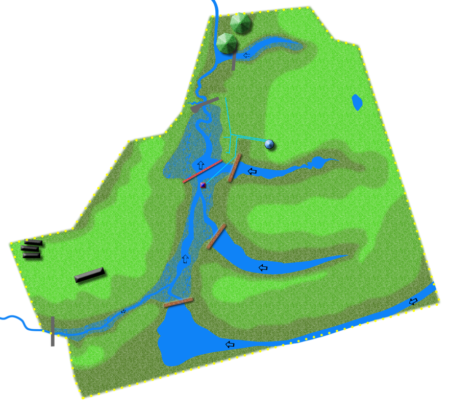
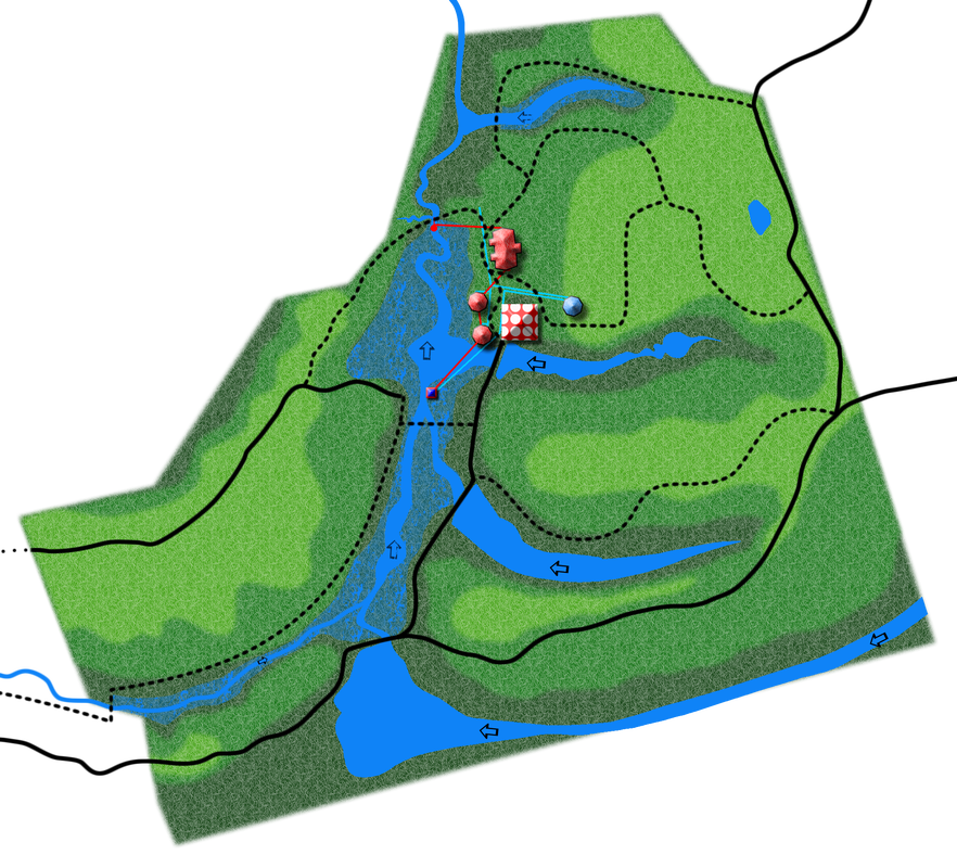
The Isla complex is on 24 hectares (59 acres). The bulk of the current infrastructure and human activity takes place on (10 hectares / 24 acres).
Land has been secured on all sides of parcel thus insuring it’s protection from negative external pressures (pesticide use, slash & burn-style agriculture, pollution, etc.).
All of the land have a history of logging or slash and burn-style agriculture.
In nearby areas, farmers cut and burn the rainforest to grow a single rotation of yuca (Manihot esculenta) , pine apple, cacao, etc.
Some of the local people in Tamshiyacu split their time between working for Isla and working their own land. Some people from Panguana, on the nord, also work at Isla.
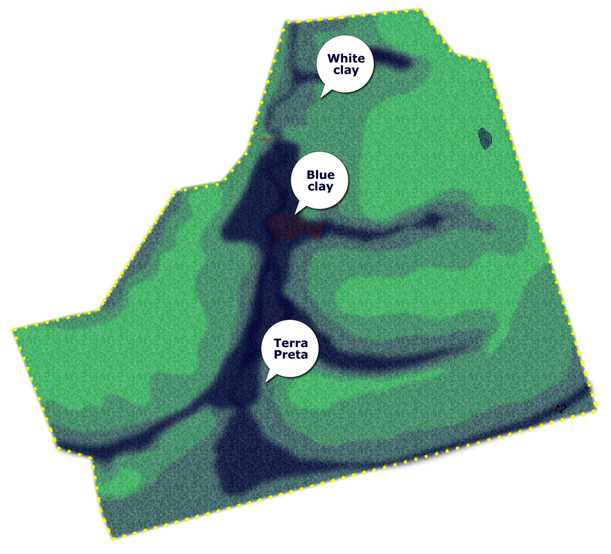
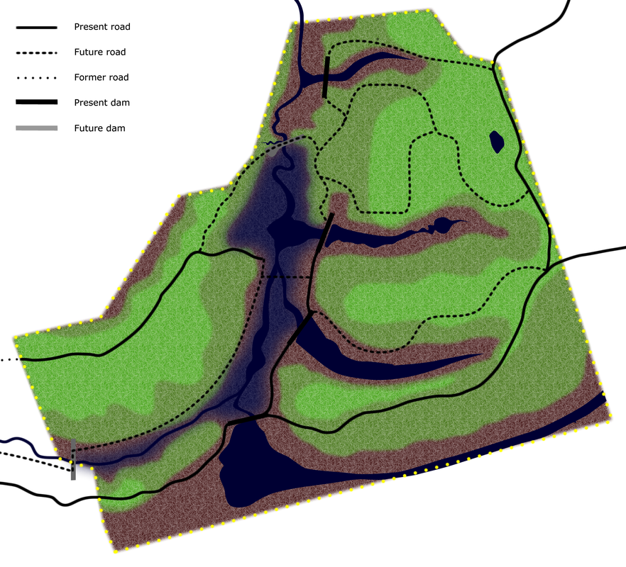
The base map shows a close relationship between topography and soil types.
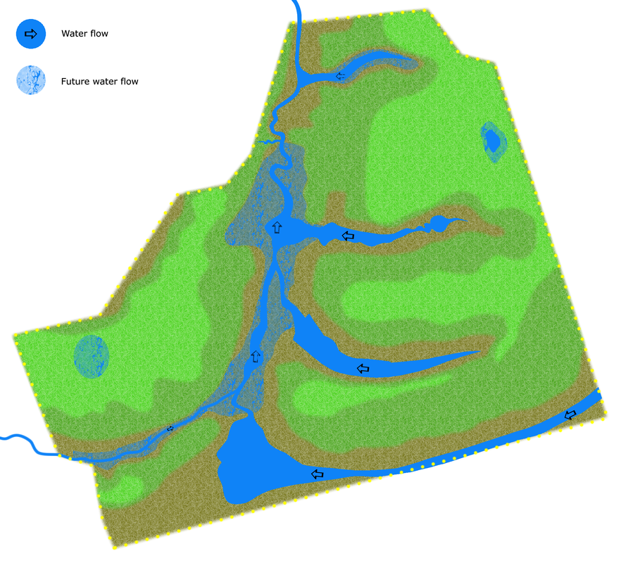
The hills and slopes are sandy and flatten out when they reach an impervious layer of clay which holds surface water, creating swamps in the lowest areas.
Also note that the ravines (quebradas) dropping down to the creeks are fairly steep and narrow.
To date, almost all development has taken place in the higher, sandy areas which will have the best air flow, drainage, and ventilation.

